
Nakisunga topographic map
Interactive map
Click on the map to display elevation.
About this map
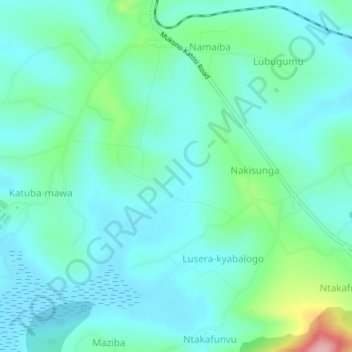
Name: Nakisunga topographic map, elevation, terrain.
Location: Nakisunga, Mukono, Central Region, Ouganda (0.26528 32.75944 0.30528 32.79944)
Average elevation: 1,173 m
Minimum elevation: 1,139 m
Maximum elevation: 1,311 m