
Thank you for supporting this site ❤️
Make a donation
Make a donation
Independence topographic map
Click on the map to display elevation.
Thank you for supporting this site ❤️
Make a donation
Make a donation
About this map
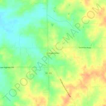
Name: Independence topographic map, elevation, terrain.
Location: Independence, Tate County, Mississippi, 38638, United States (34.68510 -89.82898 34.72510 -89.78898)
Average elevation: 102 m
Minimum elevation: 83 m
Maximum elevation: 121 m
Thank you for supporting this site ❤️
Make a donation
Make a donation