
Thank you for supporting this site ❤️
Make a donation
Make a donation
Katuugo Fr topographic map
Click on the map to display elevation.
Thank you for supporting this site ❤️
Make a donation
Make a donation
About this map
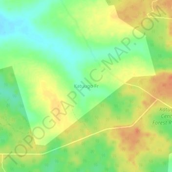
Name: Katuugo Fr topographic map, elevation, terrain.
Location: Katuugo Fr, Nakasongola, Central Region, Uganda (1.15296 32.40623 1.19296 32.44623)
Average elevation: 1,078 m
Minimum elevation: 1,057 m
Maximum elevation: 1,097 m
Thank you for supporting this site ❤️
Make a donation
Make a donation