
红崖村 topographic map
Interactive map
Click on the map to display elevation.
About this map
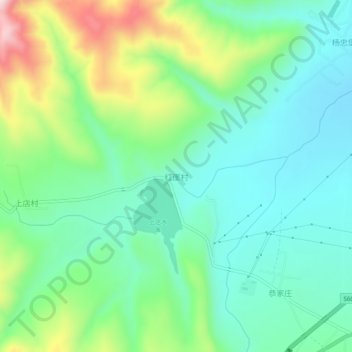
Name: 红崖村 topographic map, elevation, terrain.
Location: 红崖村, 原州区, 固原市, 宁夏回族自治区, 中国 (36.02896 106.05678 36.06896 106.09678)
Average elevation: 1,830 m
Minimum elevation: 1,719 m
Maximum elevation: 2,098 m
Other topographic maps
Click on a map to view its topography, its elevation and its terrain.