
Hambantota topographic map
Interactive map
Click on the map to display elevation.
About this map
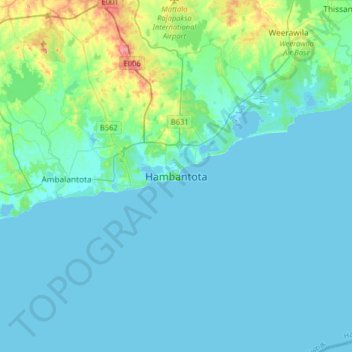
Name: Hambantota topographic map, elevation, terrain.
Location: Hambantota, Hambantota District, Southern Province, Sri Lanka (5.96491 80.96426 6.28491 81.28426)
Average elevation: 12 m
Minimum elevation: -1 m
Maximum elevation: 94 m