
Thank you for supporting this site ❤️
Make a donation
Make a donation
Lambafelli topographic map
Click on the map to display elevation.
Thank you for supporting this site ❤️
Make a donation
Make a donation
About this map
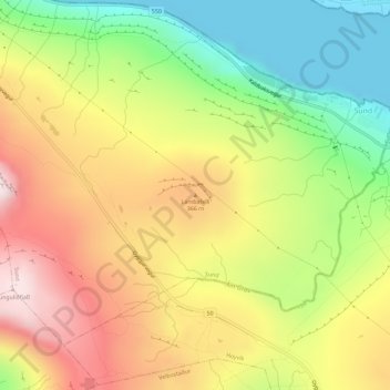
Name: Lambafelli topographic map, elevation, terrain.
Location: Lambafelli, Sund, Streymoyar sýsla, 186, Færøerne (62.04319 -6.87087 62.04329 -6.87077)
Average elevation: 259 m
Minimum elevation: 0 m
Maximum elevation: 531 m
Thank you for supporting this site ❤️
Make a donation
Make a donation