
Thank you for supporting this site ❤️
Make a donation
Make a donation
Gryt topographic map
Click on the map to display elevation.
Thank you for supporting this site ❤️
Make a donation
Make a donation
About this map
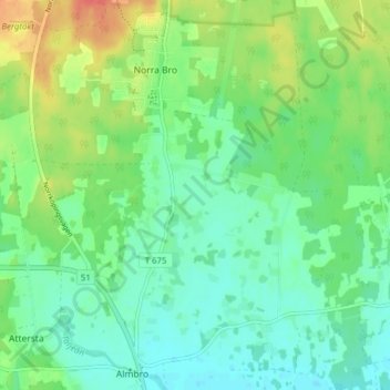
Name: Gryt topographic map, elevation, terrain.
Location: Gryt, Örebro, Örebro kommun, Örebro län, 702 35, Sverige (59.19374 15.23845 59.23374 15.27845)
Average elevation: 39 m
Minimum elevation: 23 m
Maximum elevation: 68 m
Thank you for supporting this site ❤️
Make a donation
Make a donation
Other topographic maps
Click on a map to view its topography, its elevation and its terrain.