
Dunton topographic map
Interactive map
Click on the map to display elevation.
About this map
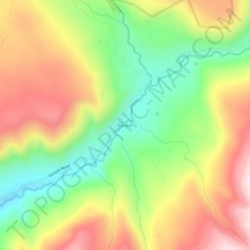
Name: Dunton topographic map, elevation, terrain.
Location: Dunton, Dolores County, Colorado, United States (37.75277 -108.11396 37.79277 -108.07396)
Average elevation: 2,928 m
Minimum elevation: 2,629 m
Maximum elevation: 3,258 m