
Tarnobrzeg topographic map
Interactive map
Click on the map to display elevation.
About this map
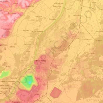
Name: Tarnobrzeg topographic map, elevation, terrain.
Location: Tarnobrzeg, Subcarpathian Voivodeship, 39-400, Poland (50.51227 21.60120 50.65525 21.79627)
Average elevation: 151 m
Minimum elevation: 71 m
Maximum elevation: 194 m