
Thank you for supporting this site ❤️
Make a donation
Make a donation
Valencia West topographic map
Click on the map to display elevation.
Thank you for supporting this site ❤️
Make a donation
Make a donation
About this map
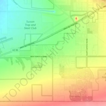
Name: Valencia West topographic map, elevation, terrain.
Location: Valencia West, Pima County, Arizona, United States (32.10428 -111.16958 32.16654 -111.08881)
Average elevation: 759 m
Minimum elevation: 720 m
Maximum elevation: 803 m
Thank you for supporting this site ❤️
Make a donation
Make a donation