
Thank you for supporting this site ❤️
Make a donation
Make a donation
Stiepelse topographic map
Click on the map to display elevation.
Thank you for supporting this site ❤️
Make a donation
Make a donation
About this map
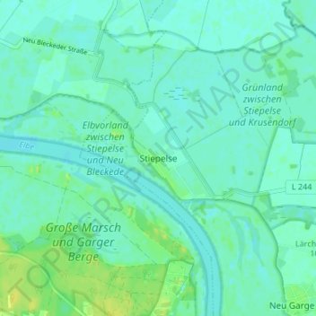
Name: Stiepelse topographic map, elevation, terrain.
Location: Stiepelse, Amt Neuhaus, Lüneburg, Niedersachsen, Deutschland (53.27055 10.78018 53.31055 10.82018)
Average elevation: 10 m
Minimum elevation: 5 m
Maximum elevation: 22 m
Thank you for supporting this site ❤️
Make a donation
Make a donation
Other topographic maps
Click on a map to view its topography, its elevation and its terrain.