
Alexander County topographic map
Interactive map
Click on the map to display elevation.
About this map
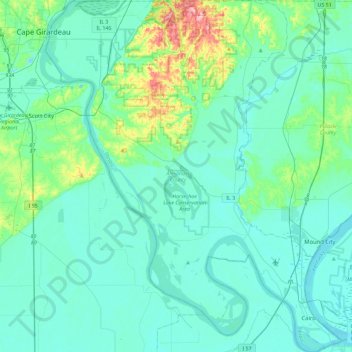
Name: Alexander County topographic map, elevation, terrain.
Location: Alexander County, Illinois, Estados Unidos da América (36.97013 -89.52071 37.33584 -89.13301)
Average elevation: 112 m
Minimum elevation: 89 m
Maximum elevation: 250 m