
Thank you for supporting this site ❤️
Make a donation
Make a donation
La Yunquera topographic map
Click on the map to display elevation.
Thank you for supporting this site ❤️
Make a donation
Make a donation
About this map
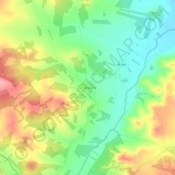
Name: La Yunquera topographic map, elevation, terrain.
Location: La Yunquera, Lezuza, Albacete, Castilla-La Mancha, España (38.90146 -2.26223 38.94146 -2.22223)
Average elevation: 821 m
Minimum elevation: 770 m
Maximum elevation: 887 m
Thank you for supporting this site ❤️
Make a donation
Make a donation