
Thank you for supporting this site ❤️
Make a donation
Make a donation
Kerela topographic map
Click on the map to display elevation.
Thank you for supporting this site ❤️
Make a donation
Make a donation
About this map
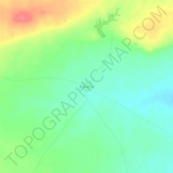
Name: Kerela topographic map, elevation, terrain.
Location: Kerela, Banamba Cercle, Koulikoro, Mali (13.86960 -7.68251 13.90960 -7.64251)
Average elevation: 370 m
Minimum elevation: 345 m
Maximum elevation: 411 m
Thank you for supporting this site ❤️
Make a donation
Make a donation