
Thank you for supporting this site ❤️
Make a donation
Make a donation
Mount Vernon topographic map
Click on the map to display elevation.
Thank you for supporting this site ❤️
Make a donation
Make a donation
About this map
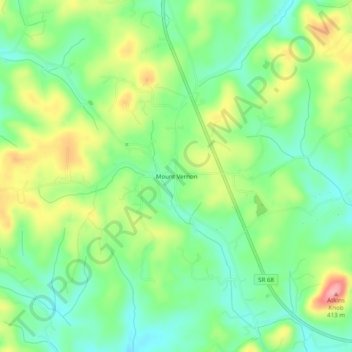
Name: Mount Vernon topographic map, elevation, terrain.
Average elevation: 327 m
Minimum elevation: 282 m
Maximum elevation: 401 m
Thank you for supporting this site ❤️
Make a donation
Make a donation
Other topographic maps
Click on a map to view its topography, its elevation and its terrain.
Thank you for supporting this site ❤️
Make a donation
Make a donation
Bald River Gorge Wilderness
United States > Tennessee > Monroe County
Bald River Gorge Wilderness is a 3,721-acre (15 km2) wilderness area of Cherokee National Forest that lies within Monroe County in the U.S. state of Tennessee, designated in 1984. Its elevation is 2,642 feet (805 m) above sea level. It is administered by the United States Forest Service.
Average elevation: 638 m
Thank you for supporting this site ❤️
Make a donation
Make a donation
Thank you for supporting this site ❤️
Make a donation
Make a donation