
Little Rock, Arkansas topographic map
Interactive map
Click on the map to display elevation.
About this map
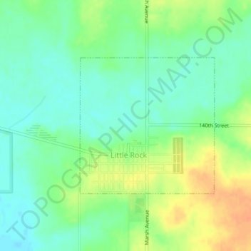
Name: Little Rock, Arkansas topographic map, elevation, terrain.
Location: Little Rock, Arkansas, Lyon County, Iowa, United States (43.43984 -95.89042 43.45446 -95.87047)
Average elevation: 450 m
Minimum elevation: 435 m
Maximum elevation: 472 m