
Thank you for supporting this site ❤️
Make a donation
Make a donation
Laze v Tuhinju topographic map
Click on the map to display elevation.
Thank you for supporting this site ❤️
Make a donation
Make a donation
About this map
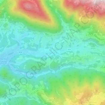
Name: Laze v Tuhinju topographic map, elevation, terrain.
Location: Laze v Tuhinju, Kamnik, Upravna Enota Kamnik, 1219, Slovenia (46.19840 14.74046 46.23840 14.78046)
Average elevation: 667 m
Minimum elevation: 461 m
Maximum elevation: 1,133 m
Thank you for supporting this site ❤️
Make a donation
Make a donation