
Kotta topographic map
Interactive map
Click on the map to display elevation.
About this map
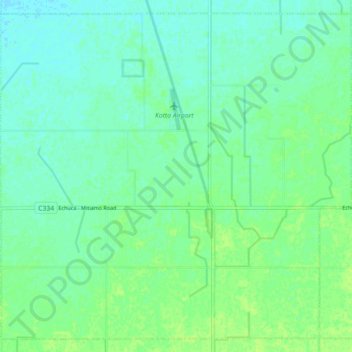
Name: Kotta topographic map, elevation, terrain.
Location: Kotta, Shire of Campaspe, Victoria, Australia (-36.22585 144.48155 -36.15894 144.57099)
Average elevation: 100 m
Minimum elevation: 95 m
Maximum elevation: 106 m
Other topographic maps
Click on a map to view its topography, its elevation and its terrain.