
Thank you for supporting this site ❤️
Make a donation
Make a donation
Manjhanpur topographic map
Click on the map to display elevation.
Thank you for supporting this site ❤️
Make a donation
Make a donation
About this map
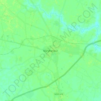
Name: Manjhanpur topographic map, elevation, terrain.
Location: Manjhanpur, Kaushambi, Uttar Pradesh, 212207, India (25.49062 81.33494 25.57062 81.41494)
Average elevation: 103 m
Minimum elevation: 97 m
Maximum elevation: 107 m
Thank you for supporting this site ❤️
Make a donation
Make a donation