
Thank you for supporting this site ❤️
Make a donation
Make a donation
Vanzant topographic map
Click on the map to display elevation.
Thank you for supporting this site ❤️
Make a donation
Make a donation
About this map
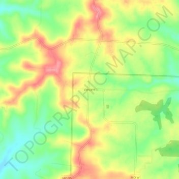
Name: Vanzant topographic map, elevation, terrain.
Location: Vanzant, Douglas County, Missouri, United States (36.94978 -92.32294 36.98978 -92.28294)
Average elevation: 352 m
Minimum elevation: 309 m
Maximum elevation: 395 m
Thank you for supporting this site ❤️
Make a donation
Make a donation
Other topographic maps
Click on a map to view its topography, its elevation and its terrain.
Ava
United States > Missouri > Douglas County
Ava is located in the southern portion of the Missouri Ozarks within the southern escarpment of the Salem Plateau. The lakes of the White River basin of northern Arkansas and southern Missouri lie to the south. The town is at the intersection of Missouri highways 5, 14 and 76. Mansfield is 13 miles to the…
Average elevation: 392 m