
Thank you for supporting this site ❤️
Make a donation
Make a donation
Quenafaja topographic map
Click on the map to display elevation.
Thank you for supporting this site ❤️
Make a donation
Make a donation
About this map
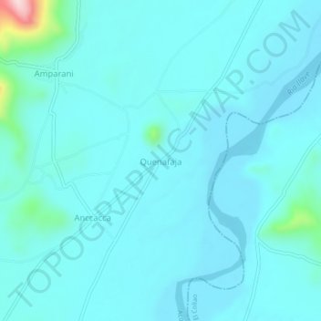
Name: Quenafaja topographic map, elevation, terrain.
Location: Quenafaja, Ácora, Puno, Perú (-16.15383 -69.71758 -16.11383 -69.67758)
Average elevation: 3,855 m
Minimum elevation: 3,825 m
Maximum elevation: 4,124 m
Thank you for supporting this site ❤️
Make a donation
Make a donation