
Make a donation
Minnehaha Falls topographic map
Click on the map to display elevation.
Make a donation
Minnehaha Falls
Fortunately for the generations to come, in 1883 the state legislature created the Minneapolis Board of Park Commissioners. The board began by acquiring park land near today's downtown Minneapolis. Their choice to hire noted landscape architect Horace Cleveland was fortunate. Cleveland was hired by the Board to design a system of parks and interconnected parkways to connect and preserve the existing natural landscape. Cleveland was a preservationist by nature, respecting the natural landscape features and using the existing topography and vegetation to keep his designs as natural as possible. When the park board considered building a photographic stand in the lower glen near the falls in 1889, he responded saying.
Make a donation
About this map
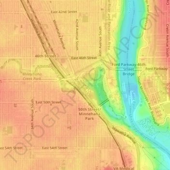
Name: Minnehaha Falls topographic map, elevation, terrain.
Average elevation: 249 m
Minimum elevation: 210 m
Maximum elevation: 266 m
Make a donation
Other topographic maps
Click on a map to view its topography, its elevation and its terrain.
Stevens Square - Loring Heights
United States > Minnesota > Hennepin County > Minneapolis
Average elevation: 266 m
Make a donation