
Thank you for supporting this site ❤️
Make a donation
Make a donation
Tan topographic map
Click on the map to display elevation.
Thank you for supporting this site ❤️
Make a donation
Make a donation
About this map
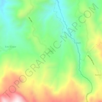
Name: Tan topographic map, elevation, terrain.
Location: Tan, Kemah, Erzincan, Eastern Anatolia Region, Turkey (39.53999 39.02302 39.57999 39.06302)
Average elevation: 1,507 m
Minimum elevation: 1,148 m
Maximum elevation: 2,068 m
Thank you for supporting this site ❤️
Make a donation
Make a donation