
Thank you for supporting this site ❤️
Make a donation
Make a donation
Pratofontana topographic map
Click on the map to display elevation.
Thank you for supporting this site ❤️
Make a donation
Make a donation
About this map
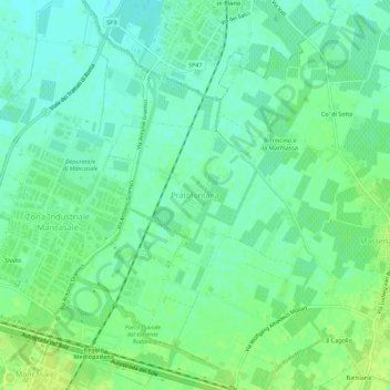
Name: Pratofontana topographic map, elevation, terrain.
Average elevation: 34 m
Minimum elevation: 27 m
Maximum elevation: 42 m
Thank you for supporting this site ❤️
Make a donation
Make a donation
Other topographic maps
Click on a map to view its topography, its elevation and its terrain.
San Pellegrino
Italia > Emilia-Romagna > Reggio nell'Emilia > Reggio Emilia
L'altitudine varia da 60 a 77 m s.l.m.
Average elevation: 67 m
Thank you for supporting this site ❤️
Make a donation
Make a donation