
Ashnam topographic map
Interactive map
Click on the map to display elevation.
About this map
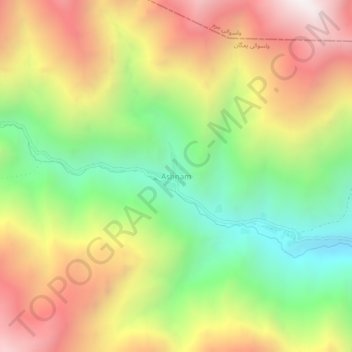
Name: Ashnam topographic map, elevation, terrain.
Location: Ashnam, ولسوالی یمگان, Badakhchan, Afghanistan (36.58725 70.76223 36.62725 70.80223)
Average elevation: 2,796 m
Minimum elevation: 2,042 m
Maximum elevation: 3,639 m