
Donaldson topographic map
Interactive map
Click on the map to display elevation.
About this map
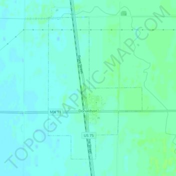
Name: Donaldson topographic map, elevation, terrain.
Location: Donaldson, Kittson County, Minnesota, 56720, États-Unis (48.56495 -96.90568 48.58679 -96.88386)
Average elevation: 252 m
Minimum elevation: 248 m
Maximum elevation: 256 m