
Thank you for supporting this site ❤️
Make a donation
Make a donation
Aftis topographic map
Click on the map to display elevation.
Thank you for supporting this site ❤️
Make a donation
Make a donation
About this map
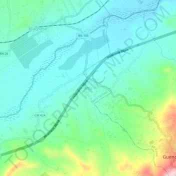
Name: Aftis topographic map, elevation, terrain.
Location: Aftis, Boudjellil, Tazmalt District, Bejaia, 06000, Algeria (36.36444 4.44250 36.40444 4.48250)
Average elevation: 255 m
Minimum elevation: 194 m
Maximum elevation: 457 m
Thank you for supporting this site ❤️
Make a donation
Make a donation