
Ommel topographic map
Interactive map
Click on the map to display elevation.
About this map
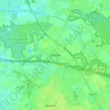
Name: Ommel topographic map, elevation, terrain.
Location: Ommel, Noord-Brabant, Nederland, 5724, Nederland (51.40248 5.72849 51.44248 5.76849)
Average elevation: 26 m
Minimum elevation: 20 m
Maximum elevation: 30 m
Other topographic maps
Click on a map to view its topography, its elevation and its terrain.
Oostappen
Nederland > Noord-Brabant > Ommel
Oostappen, Ommel, Asten, Noord-Brabant, Nederland, 5756 PW, Nederland
Average elevation: 23 m