
Thank you for supporting this site ❤️
Make a donation
Make a donation
Harsefeld topographic map
Click on the map to display elevation.
Thank you for supporting this site ❤️
Make a donation
Make a donation
Harsefeld
Nordöstlich von Harsefeld befinden sich 22 Grabhügel auf dem Hohekamp. Der größte und an der höchsten Stelle gelegene Grabhügel hatte einen Durchmesser von fast 25 Metern und eine Höhe von vier Metern. Der Grabhügel Königsgrab – auch „Osterberg“ genannt – wurde 1910/11 vom Besitzer durchgegraben. Eine archäologische Untersuchung fand statt.
Thank you for supporting this site ❤️
Make a donation
Make a donation
About this map
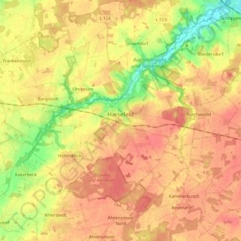
Name: Harsefeld topographic map, elevation, terrain.
Average elevation: 34 m
Minimum elevation: 1 m
Maximum elevation: 53 m
Thank you for supporting this site ❤️
Make a donation
Make a donation