
Abu Nakhlah topographic map
Interactive map
Click on the map to display elevation.
About this map
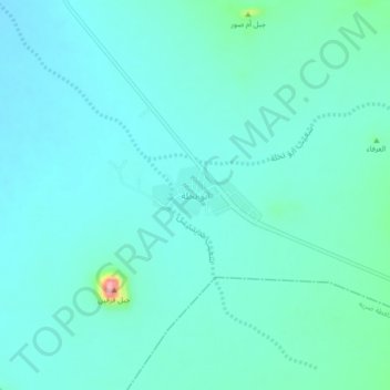
Name: Abu Nakhlah topographic map, elevation, terrain.
Location: Abu Nakhlah, Buraydah, Al-Qassim Province, Saudi Arabia (25.17467 43.40204 25.21467 43.44204)
Average elevation: 944 m
Minimum elevation: 922 m
Maximum elevation: 1,070 m
Other topographic maps
Click on a map to view its topography, its elevation and its terrain.
Riyadh Al Khabra
Saudi Arabia > Al-Qassim Province
Riyadh Al Khabra, Al-Qassim Province, Saudi Arabia
Average elevation: 886 m