
Thank you for supporting this site ❤️
Make a donation
Make a donation
Porto Viro topographic map
Click on the map to display elevation.
Thank you for supporting this site ❤️
Make a donation
Make a donation
About this map
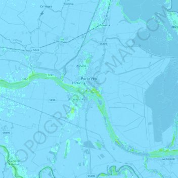
Name: Porto Viro topographic map, elevation, terrain.
Location: Porto Viro, Rovigo, Veneto, 45014, Italy (44.95355 12.18717 45.07694 12.42416)
Average elevation: -2 m
Minimum elevation: -8 m
Maximum elevation: 13 m
Thank you for supporting this site ❤️
Make a donation
Make a donation
Other topographic maps
Click on a map to view its topography, its elevation and its terrain.