
Shelby topographic map
Interactive map
Click on the map to display elevation.
About this map
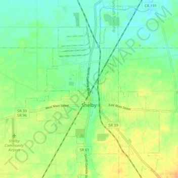
Name: Shelby topographic map, elevation, terrain.
Location: Shelby, Sharon Township, Richland County, Ohio, 44875, USA (40.85595 -82.68990 40.91785 -82.62955)
Average elevation: 336 m
Minimum elevation: 322 m
Maximum elevation: 355 m