
Jerez de la Frontera topographic map
Interactive map
Click on the map to display elevation.
About this map
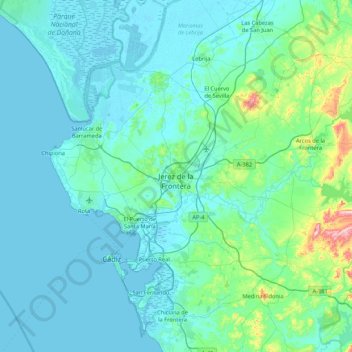
Name: Jerez de la Frontera topographic map, elevation, terrain.
Location: Jerez de la Frontera, Cádiz, Andalusien, Spanien (36.51621 -6.30612 36.86379 -5.45579)
Average elevation: 44 m
Minimum elevation: -3 m
Maximum elevation: 470 m