
Cibodas topographic map
Interactive map
Click on the map to display elevation.
About this map
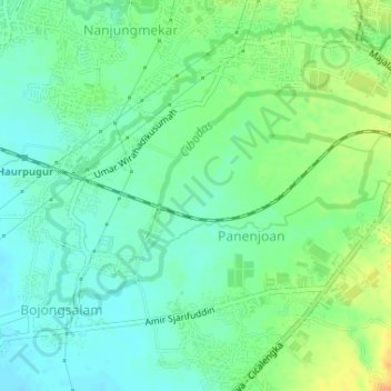
Name: Cibodas topographic map, elevation, terrain.
Location: Cibodas, Sumedang, Java occidental, 40395, Indonésie (-6.99228 107.80193 -6.97507 107.83442)
Average elevation: 677 m
Minimum elevation: 664 m
Maximum elevation: 698 m
Other topographic maps
Click on a map to view its topography, its elevation and its terrain.
Gunung Tampomas
Indonésie > Java occidental > Sumedang
Gunung Tampomas, Sumedang, Java occidental, Indonésie
Average elevation: 1,249 m