
Bolnes topographic map
Interactive map
Click on the map to display elevation.
About this map
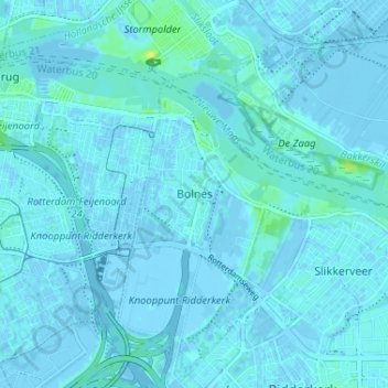
Name: Bolnes topographic map, elevation, terrain.
Location: Bolnes, Südholland, Niederlande, 2987CW, Niederlande (51.87166 4.56192 51.91166 4.60192)
Average elevation: 1 m
Minimum elevation: -4 m
Maximum elevation: 13 m