
Amazon topographic map
Interactive map
Click on the map to display elevation.
About this map
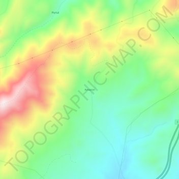
Name: Amazon topographic map, elevation, terrain.
Location: Amazon, Jefferson County, Montana, USA (46.30021 -112.12722 46.34021 -112.08722)
Average elevation: 1,747 m
Minimum elevation: 1,538 m
Maximum elevation: 2,081 m