
Glovelier topographic map
Interactive map
Click on the map to display elevation.
About this map
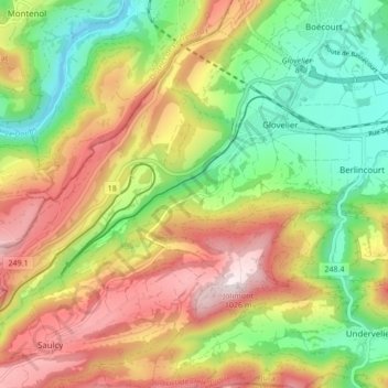
Name: Glovelier topographic map, elevation, terrain.
Location: Glovelier, Haute-Sorne, District de Delémont, Jura, 2855, Suisse (47.29958 7.13733 47.34842 7.22238)
Average elevation: 700 m
Minimum elevation: 441 m
Maximum elevation: 1,015 m