
Mula topographic map
Interactive map
Click on the map to display elevation.
About this map
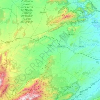
Name: Mula topographic map, elevation, terrain.
Location: Mula, Rives-du-Mula, Région de Murcie, Espagne (37.86022 -1.73308 38.18996 -1.35760)
Average elevation: 445 m
Minimum elevation: 84 m
Maximum elevation: 1,571 m