
Gias Lagarot topographic map
Interactive map
Click on the map to display elevation.
About this map
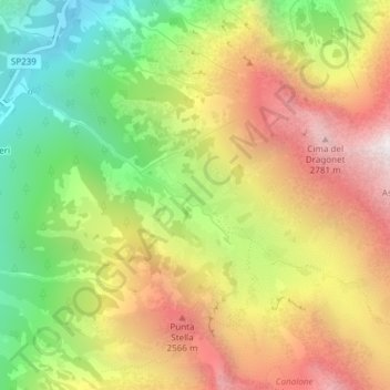
Name: Gias Lagarot topographic map, elevation, terrain.
Location: Gias Lagarot, Valdieri, Cuneo, Piedmont, Italy (44.19203 7.28161 44.21203 7.30161)
Average elevation: 2,051 m
Minimum elevation: 1,280 m
Maximum elevation: 2,861 m