
Wünsdorf topographic map
Interactive map
Click on the map to display elevation.
About this map
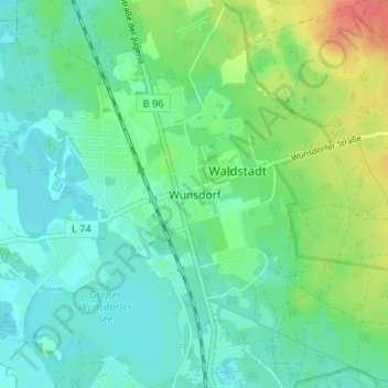
Name: Wünsdorf topographic map, elevation, terrain.
Location: Wünsdorf, Teltow-Fläming, Brandenburg, 15806, Deutschland (52.14304 13.45711 52.18304 13.49711)
Average elevation: 52 m
Minimum elevation: 36 m
Maximum elevation: 91 m