
Thank you for supporting this site ❤️
Make a donation
Make a donation
Holzenstein topographic map
Click on the map to display elevation.
Thank you for supporting this site ❤️
Make a donation
Make a donation
About this map
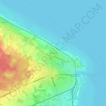
Name: Holzenstein topographic map, elevation, terrain.
Location: Holzenstein, Romanshorn, Bezirk Arbon, Thurgau, 8590, Schweiz (47.55366 9.34674 47.59366 9.38674)
Average elevation: 407 m
Minimum elevation: 392 m
Maximum elevation: 451 m
Thank you for supporting this site ❤️
Make a donation
Make a donation