
Thank you for supporting this site ❤️
Make a donation
Make a donation
Tinge topographic map
Click on the map to display elevation.
Thank you for supporting this site ❤️
Make a donation
Make a donation
About this map
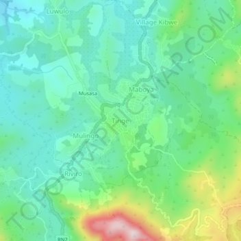
Name: Tinge topographic map, elevation, terrain.
Location: Tinge, Bashu, Beni, Noord-Kivu, Democratische Republiek Congo (0.26362 29.31711 0.30362 29.35711)
Average elevation: 1,423 m
Minimum elevation: 1,298 m
Maximum elevation: 1,763 m
Thank you for supporting this site ❤️
Make a donation
Make a donation