
Fuilla topographic map
Interactive map
Click on the map to display elevation.
About this map
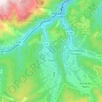
Name: Fuilla topographic map, elevation, terrain.
Average elevation: 716 m
Minimum elevation: 415 m
Maximum elevation: 1,458 m
La superficie de la commune est de 969 hectares. L'altitude de Fuilla varie entre 430 mètres et 1 171 mètres.