
Washington/Jefferson City Park topographic map
Interactive map
Click on the map to display elevation.
About this map
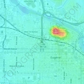
Name: Washington/Jefferson City Park topographic map, elevation, terrain.
Average elevation: 130 m
Minimum elevation: 118 m
Maximum elevation: 196 m
Other topographic maps
Click on a map to view its topography, its elevation and its terrain.
West Bank City Park
United States > Oregon > Lane County > Eugene
West Bank City Park, Bethel, Eugene, Lane County, Oregon, United States
Average elevation: 125 m