
丙底乡 topographic map
Interactive map
Click on the map to display elevation.
About this map
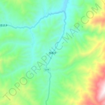
Name: 丙底乡 topographic map, elevation, terrain.
Location: 丙底乡, 金阳县, 凉山彝族自治州, Sichuan, China (27.85512 103.12494 27.93512 103.20494)
Average elevation: 2,721 m
Minimum elevation: 2,265 m
Maximum elevation: 3,869 m