
Thank you for supporting this site ❤️
Make a donation
Make a donation
Sharur District topographic map
Click on the map to display elevation.
Thank you for supporting this site ❤️
Make a donation
Make a donation
About this map
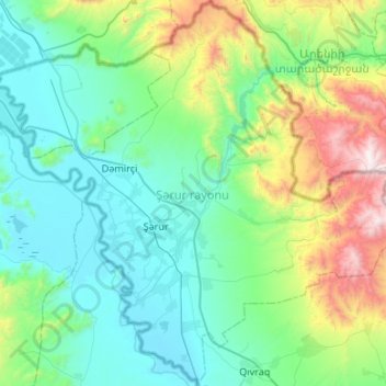
Name: Sharur District topographic map, elevation, terrain.
Location: Sharur District, Nakhchivan Autonomous Republic, Azerbaijan (39.38497 44.80938 39.79399 45.34223)
Average elevation: 1,177 m
Minimum elevation: 780 m
Maximum elevation: 2,769 m
Thank you for supporting this site ❤️
Make a donation
Make a donation
Other topographic maps
Click on a map to view its topography, its elevation and its terrain.