
Thank you for supporting this site ❤️
Make a donation
Make a donation
Matachel topographic map
Click on the map to display elevation.
Thank you for supporting this site ❤️
Make a donation
Make a donation
About this map
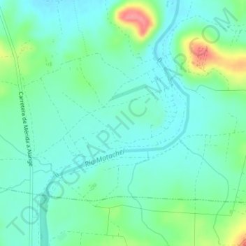
Name: Matachel topographic map, elevation, terrain.
Location: Matachel, La Zarza, Badajoz, Extremadura, 06830, España (38.79695 -6.26715 38.81695 -6.24715)
Average elevation: 234 m
Minimum elevation: 213 m
Maximum elevation: 295 m
Thank you for supporting this site ❤️
Make a donation
Make a donation