
Thank you for supporting this site ❤️
Make a donation
Make a donation
Adrar des Ifoghas topographic map
Click on the map to display elevation.
Thank you for supporting this site ❤️
Make a donation
Make a donation
About this map
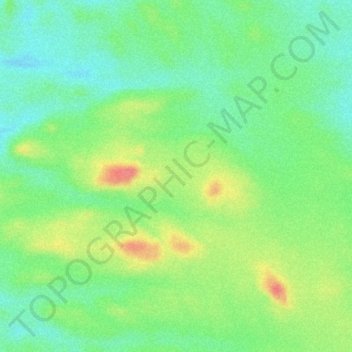
Name: Adrar des Ifoghas topographic map, elevation, terrain.
Location: Adrar des Ifoghas, Abeïbara Cercle, Kidal, Mali (19.56379 1.41924 19.56389 1.41934)
Average elevation: 667 m
Minimum elevation: 635 m
Maximum elevation: 712 m
Thank you for supporting this site ❤️
Make a donation
Make a donation