
Thank you for supporting this site ❤️
Make a donation
Make a donation
Stahlberg topographic map
Click on the map to display elevation.
Thank you for supporting this site ❤️
Make a donation
Make a donation
About this map
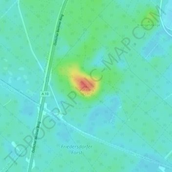
Name: Stahlberg topographic map, elevation, terrain.
Location: Stahlberg, Spreenhagen, Oder-Spree, Brandenburg, Deutschland (52.35342 13.76864 52.35352 13.76874)
Average elevation: 43 m
Minimum elevation: 33 m
Maximum elevation: 82 m
Thank you for supporting this site ❤️
Make a donation
Make a donation