
Brunsting topographic map
Interactive map
Click on the map to display elevation.
About this map
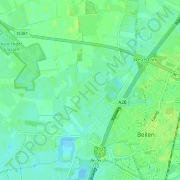
Name: Brunsting topographic map, elevation, terrain.
Location: Brunsting, Drente, Niederlande, 9411, Niederlande (52.85104 6.47187 52.89104 6.51187)
Average elevation: 13 m
Minimum elevation: 8 m
Maximum elevation: 19 m